Question Your World: Will There Be Saharan Dust in the Weather?
The global pandemic currently makes it so we can’t go visit exotic places, but sometimes pieces of the exotic places come to us! A whole bunch of Saharan dust is heading our way. Will there be Saharan dust in the weather?
2020 sure is an interesting year to say the least. Now an exceptionally thick Saharan dust plume is making news — it's currently making a 5,000-mile journey that started in Africa, will continue over the Atlantic, and eventually arrive over here in North America! These aren't unusual, and dust regularly gets entrained into winds that cross the ocean. But in this particular case, it’s much thicker than normally observed, allowing it to reach new places.
Dry, arid desert conditions plus strong upward gusts of wind can sometimes take Saharan dust up about 5,000 to 20,000 feet up in the air. Then by riding Atlantic trade winds which flow westward, the dust is transported over the Atlantic Ocean.
The dust plume's predicted trajectory for this week is across the Caribbean Sea, into the Gulf of Mexico, and then up to the southeastern United States as it rides wind patterns northward. This Saharan dust plume is expected to reach Virginia by the weekend (June 27).
Areas that this dust plume reaches are expected to have varying levels of hazy skies, some beautiful colors of the rising and setting sun, but could also impact people’s respiratory systems, asthma and allergies. Folks with sensitive eyes may want to have some antihistamines prepared for the weekend or stay inside to avoid the relatively worse — although temporary — air quality.
As natural occurrences take place, scientists use these events as an opportunity to learn some new science. NASA is also studying this phenomenon to better understand the relationship between these dust storms and toxic algae blooms, and NOAA is looking into how these plumes can stop major storms from forming. These scientists now join an already excited community of meteorologists and fans of the rock band Kansas. After all, this week is all about Dust In The Wind!

More on Atlantic Summer-time Activity
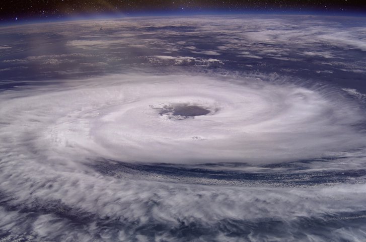
June 1st was the official start to the Atlantic hurricane season, when warm tropical ocean water can provide the energy needed to turn jostled air into some pretty powerful tropical storms. As these storms form, they are cataloged and named in alphabetical order. However, on May 17th, weeks before the start of hurricane season, Tropical Storm Arthur was officially named by the National Hurricane Center.
Meanwhile on the otherside of the world, on Wednesday, May 20, super cyclone Amphan made landfall over Kolkata. Tragically many lives were lost and there was much damage done to personal property and civic infrastructure. A storm of this magnitude has not been seen in the Bay of Bengal since 1999.
The approaching warm summer months are when these storms are the most active in the Atlantic near our home in Virginia, so preparing for them is vital. The National Hurricane Center is already predicting an above normal hurricane season for 2020. Scientists have been encouraging building resiliency to these storms — that is, the ability to withstand their increasing intensity and potentially increasing frequency — as global temperatures, especially ocean temperatures, continue to rise largely from human emissions of heat trapping gases from burning fossil fuels. Warmer air can hold more water vapor, and warmer water can provide that moisture.
Will this be a busy hurricane season filled with storms? The answer, my friend, is blowing in the wind — very, very fast wind. Stay prepared to get resilient all the way throguh hurricane season, which goes through November!
The Museum is hard at work helping you to discover your world despite dramatically reduced financial resources. If you'd like to help us continue this work, click here to learn how.


